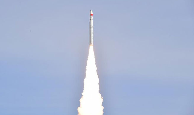
HANGZHOU, Jan. 19 (Xinhua) -- China on Friday launched two high-resolution optical remote sensing satellites, Jilin-1 Video 07 and 08, into the preset orbit from the Jiuquan Satellite Launch Center in northwest China at 12:12 p.m. Beijing Time.
Jilin-1 Video 07, also named Deqing-1, was China's first satellite named after a county in east China's Zhejiang Province. Both of the two commercial satellites were independently developed by Chang Guang Satellite Technology Co. Ltd.
The Deqing-1 has a 0.92-meter ground resolution and a 19 km breadth. It will provide remote sensing data and products for government and industry users together with Jilin-1 Video 08 and eight previously launched Jilin-1 satellites.
Deqing County is China's first town featuring "geographic information." The town has more than 150 geographic information enterprises, and had a total industrial output of 3.5 billion yuan (about 530 million U.S. dollars) over the past three years.
In November, the first world geographic information conference of the United Nations will be held in Deqing.


